Mahyar Aboutalebi
Ramote Sensing in Precision Ag, Image Processing, and Artificial Intelligence Researcher
Utah State University
Biography
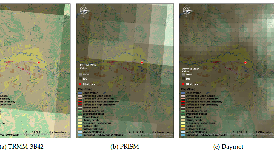
I’m a Ph.D. student at Utah State University (USU) working on super high-resolution imagery (finer than 20cm) captured by AggieAir. AggieAir focuses on the development and deployment of new technologies for use in remote sensing research and resource management applications. My goal is to involve the canopy structure provided by super high-resolution imagery and point cloud into evapotranspiration (ET) and yield models.
Interests
- Remote Sensing
- Precision Agriculture
- Machine Learning
- Optimization Techniques
Education
-
PhD in Civil and Environmental Engineering, 2020
Utah State University
-
MSc in Water Resources Engineering, 2011-2014
University of Tehran
-
BSc in Water Resources Engineering, 2007-2011
University of Tehran